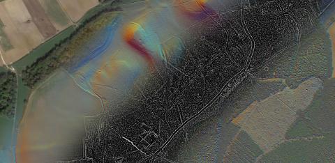
The new Surrey LiDAR Portal, an interactive citizen science map of the county's LiDAR (as well as its historic maps), is now available. See surreylidar.org.uk to register and view the imagery!


The new Surrey LiDAR Portal, an interactive citizen science map of the county's LiDAR (as well as its historic maps), is now available. See surreylidar.org.uk to register and view the imagery!