Research
Surrey Archaeological Societies' Research Group
Annual Symposium - BOOK ONLINE NOW
Click on the 'BOOK' tab above to make an online booking.
The final programme is below and a booking form is attached:
SYMPOSIUM 29 FEB 2020
10.00 Chair: Dr Anne Sassin
SHERF 2019 : Archaeological Sciences : BOOK ONLINE NOW
To book online please select the 'BOOK' tab above
The annual Surrey Historic Environment Research Framework conference will be based on scientific analyses this year. The confirmed agenda is shown below. A booking form was included with the August Bulletin and can also be downloaded below, but we would encourage online booking using the Book tab above.
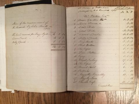
Archaeology in the Archives course
Led by Jane Lewis (Surrey Heritage) and Nowal Shaikhley (SCAU), this one-day course will take place on two separate occasions (Tuesday 5 February and Saturday 16 February) from 10:30-15:30 at the Surrey History Centre (130 Goldsworth Rd, Woking GU21 6ND).
Archaeology in the Archives course
Led by Jane Lewis (Surrey Heritage) and Nowal Shaikhley (SCAU), this one-day course will take place on two separate occasions (Tuesday 5 February and Saturday 16 February) from 10:30-15:30 at the Surrey History Centre (130 Goldsworth Rd, Woking GU21 6ND).
QGIS course - Introduction to GIS and QGIS for archaeology
Led by Simon Miles, this one-day course will provide an introduction to the uses of GIS and QGIS for archaeological purposes. It is intended for newcomers to the key concepts and capabilities of the programme. Topics covered will include:
What is GIS?
Core principles of GIS
What is QGIS and why use it?
Setup and install QGIS
Learning the basics of QGIS
(Loading, Styling and Editing data)
Finding Data
QGIS course - QGIS for archaeology
Led by Simon Miles, this one-day course will provide a more advanced overview to the uses of QGIS (a free and open source GIS application) for archaeological purposes. It will build upon the previous Introduction to GIS and QGIS workshops, but attending that course is not a prerequisite of attending this one.
Using actual site data, combined with a series of Open-Data sources we will explore how to use QGIS. We will look at pre excavation tasks such as geophysics, field walking and site grids, as well as post excavation find plotting, digitising of trenches and georeferencing.
QGIS course - Introduction to GIS and QGIS for archaeology
Led by Simon Miles, this one-day course will provide an introduction to the uses of GIS and QGIS for archaeological purposes. It is intended for newcomers to the key concepts and capabilities of the programme. Topics covered will include:
What is GIS?
Core principles of GIS
What is QGIS and why use it?
Setup and install QGIS
Learning the basics of QGIS
(Loading, Styling and Editing data)
Finding Data
Pages